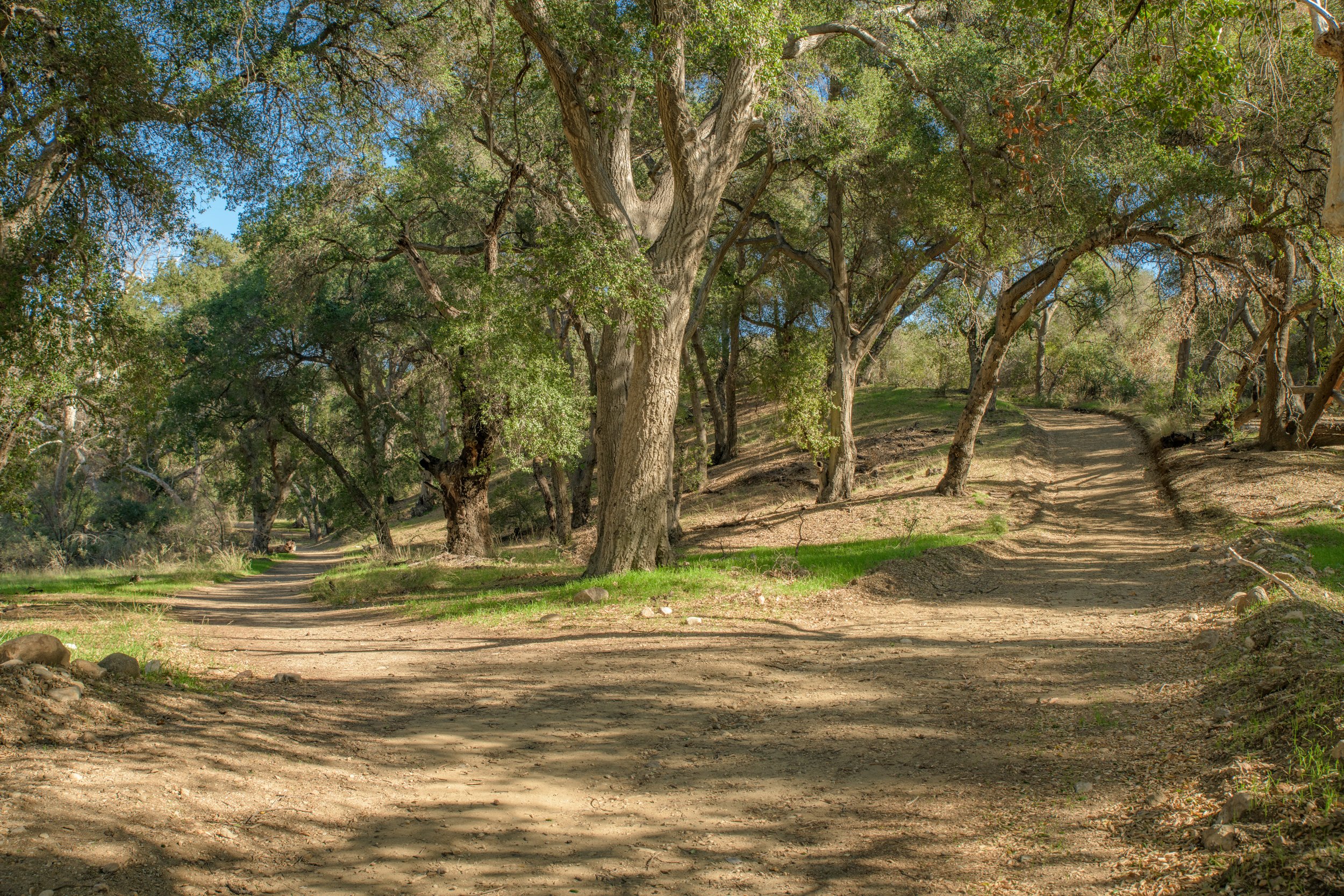
Whitney canyon Park
Introduction
Whitney Canyon Park is a 442-acre hidden gem of a park, with a trailhead that lies unassumingly behind the Newhall Park & Ride. The main trail is relatively flat and kid friendly and there’s a variety of fun places to explore along the way. There’s a magical stretch of green oak forest (with all kinds of climbable, fun-shaped trees), a trickling creek, and the best surprise lies at the end - the Whitney Canyon Waterfalls!
trail overview
If it’s your first time parking at the trailhead, it’s easy to assume that this trail will be unspectacular. There’s the freeway noise from the 14, the park & ride right behind you, and the scenery at the beginning leaves something to be desired.
However, if you summon the strength to leave your car and start hiking - you’ll soon be rewarded with one of the more peaceful corners of Santa Clarita.
The first leg of the trail is fairly open, it follows a wide, dry creekbed. This section of the hike can get pretty windy. There are a few nice stops you can make along the way - there’s somewhat of a pseudo “cave” in the rockface pictured above which can be fun for kids. There’s also some trees along this section that the acorn woodpeckers enjoy - definitely bring your binoculars if you have some.
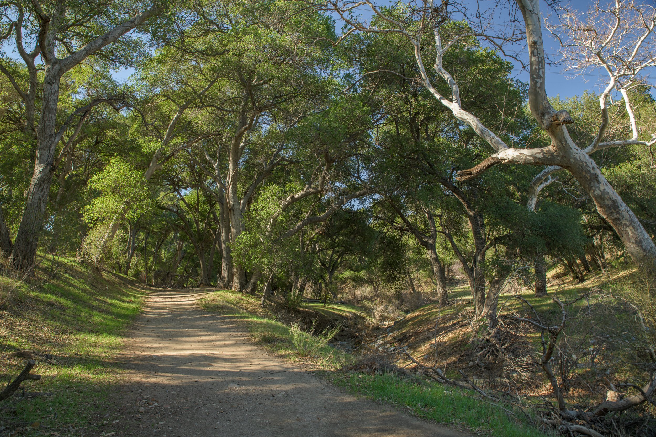
The middle section of the hike is one of my favorite parts. The trail enters into a beautiful grove of oak trees. It feels a bit like entering into a fairytale - there are all sorts of interestingly shaped trees for kids to climb on, or to sit and have a picnic. We’ve also spotted hawks and deers on this section of the hike. If you come at the right time (winter/spring) after it’s rained - the creek can start to fill with water here and the grass will be green! If you visit in summer, the creek will be dry, but the shade from the trees will be a welcome relief from the blistering sun. If you don’t have much time to hike, this makes a great spot to enjoy and turn-around. Otherwise, you can continue on to the last leg of the hike.
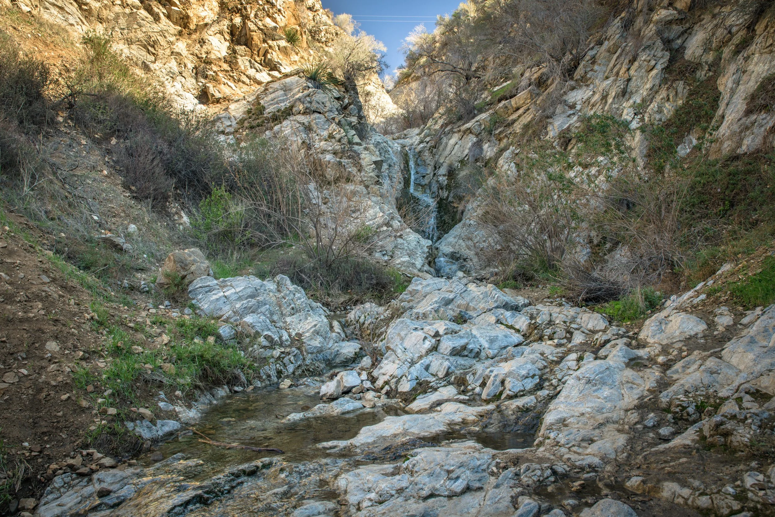
For the final leg of the hike, you’ll emerge from the forest, and the landscape will open up a bit - the towering rocks and cliff faces will remind you that you’re in a canyon. If the creekbed was dry in the middle section of the hike, there is still hope of seeing water in this section (again, depending on the season), the trail crosses the creek multiple times.
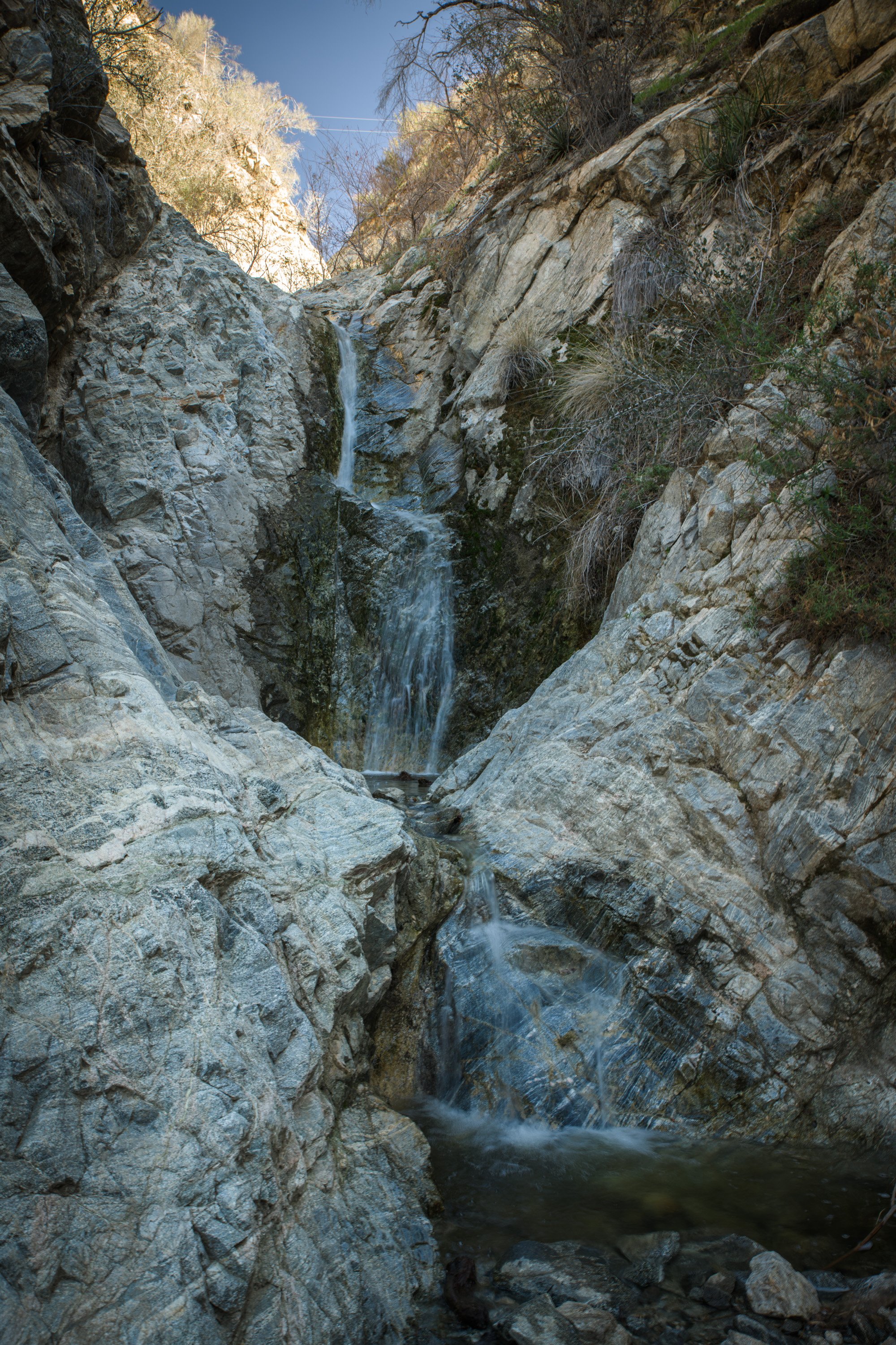
Finally, the creek will widen out into a pool of water and you’ll arrive at the little waterfall at the end. You’ve made it! A little oasis in the dry Southern California hills! For many hikers this will be the end - however, if you’re in good physical shape and have made it this far, it’s worth scrambling up the rocks to the side of this waterfall. See more below.
These two photos are of the upper area beyond the “last” waterfall - it has a more pools of water, neat rocks, and more waterfalls. Again, it involves a bit more rock scrambling on an otherwise “easy” hike, which may be difficult for kids or anyone with mobility concerns, but it’s worth the views if you can do it and you’re already there.
Logistics
Thankfully this park is not difficult to find. Just type “Whitney Canyon Park” into your GPS, or the official address: 20303 Newhall Ave, Santa Clarita, CA 91321
There is a big parking lot adjacent to the Newhall Park & Ride - parking is plentiful and free. It can get a little busy on weekends.
The roundtrip distance from the falls is 2.9 miles . With a two-year-old it took us around 2.5-3 hours to do the entire trip to the falls (at a leisurely pace). Usually though, we just hike to the forest section and turn around which takes us around 1-1.5 hours (at a leisurely pace).
Hours: 6am to 9pm Everyday
Checkout the diagram below for a quick overview of the park:
There are a few spots along the trail that may be confusing to newcomers, notes on not getting lost are below:
Trail Notes:
There are two main trails that leave from the parking lot. You want to pick the flat one that follows the dry creekbed - this is Whitney Canyon Park. The trail that goes up the hill is“Elsmere Canyon” which is a different trail. Also, do not cross the little bridge to where the house is near the parking lot - this isn’t the trail either. Everything should be appropriately signed in the parking lot.
As soon as you enter the forest in the middle section, the trail splits in two (you can see the split in the title photo on this page), you want to take the flat trail on the LEFT. The trail that goes up the hill is a service road to some electrical towers - it’s steep and much less scenic than the main trail.
There are several offshoot trails from the main one. With the exception of the last bullet-point above, always follow the trail straight - if in doubt, follow the creekbed.
The trail is not paved, but is stroller-friendly for the first two sections. I wouldn’t recommend a stroller for the final section.
Alltrails.com has an informative page on this hike. Additional info can also be found at the Whitney Canyon Park page at the MRCA Website. You can download a PDF of the official trail map, learn more info/history about the trail, as well as view some additional photos of the park.
WILDLIFE BONUS
Coyote Paradise
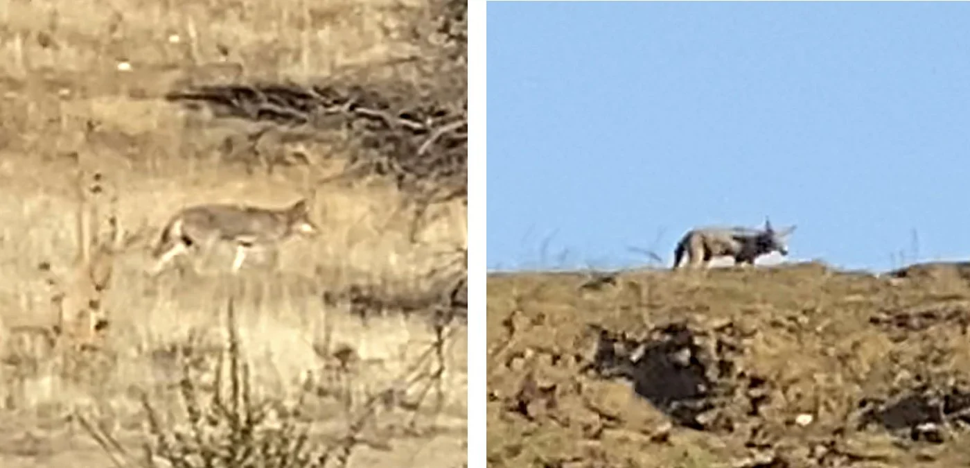
From all of the hikes in Santa Clarita, we have seen coyotes most frequently at Whitney Canyon!
They seem to like the first section of the hike, especially the field behind the house near the trailhead. Just a 3-4 minute hike from the parking lot. The best times to see them are around sunrise/sunset.
Remember to be mindful if you’re bringing small pets on the trail, otherwise don’t forget your binoculars or telephoto lenses for this great wildlife spot!


